ENVIRONMENTAL SCIENCE · CHAPTER 6 REVIEW
Climate Draws the Map
Follow along with your worksheet, one question at a time.
mrsajdak.com/climatemap
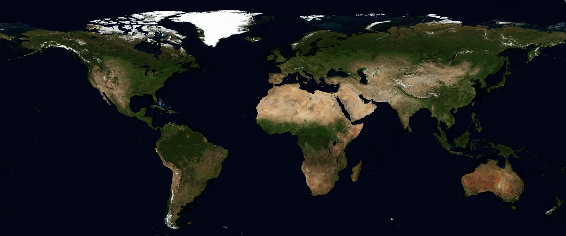
Image: NASA Blue Marble Next Generation, public domain
START HERE · PICK AN OPENER
Choose how to open the lesson
Click a card to jump to it. Every option ends at the same Observe, Wonder, Predict slide and the same driving question.
OPTION A · VIDEO
One Year of Green
Clip 1 is a spinning Earth from NOAA Visualizations, showing a year of plant life from the Suomi NPP satellite. Clip 2 uses the same data for a tour of Earth. Clip 3 is from USGS.
Watch for
Where does it stay green all year?
Where does it stay tan all year?
Clip 2: which places change the most?
Videos on YouTube: NOAAVisualizations; USGS.
OPTION B · TRY IT · 4 MINUTES
Draw the Stripes
1
Take a blank world map, a green pencil and a tan or yellow pencil.
2
Shade the land you think is green with plants.
3
Shade the land you think is dry and tan.
4
Compare with a partner. Do you see any bands?
You need
A blank world map for each pair
A green pencil and a tan or yellow pencil
Watch for
Where did you put the green?
Where did you put the tan?
Do your colors make bands across the map?
OPTION C · PHOTOS
Phenomenon: Earth in January and July
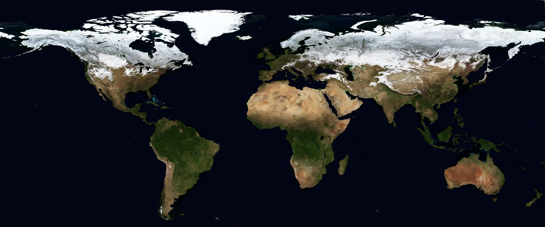
Images: NASA Blue Marble Next Generation, public domain
START HERE
Observe, wonder, predict
This is all of Earth's land, made from many satellite photos.
OBSERVEWhere is it green? Where is it tan? Where is it white?
WONDERWhat do you wonder about those bands?
PREDICTWhat could make a place green or tan?
Image: NASA Blue Marble Next Generation, public domain
DRIVING QUESTION
What draws the stripes on the map of Earth?
START HERE
What Happened Here?
Finished observing? Click here to find out.
Nothing happened all at once. These bands are always there. Plants grow where the climate lets them, so the plants show us the climate from space.
Today, you will use real climate numbers to draw the map. You will cut across the planet to find out why. Then you will change the climate and watch the map move.
BEFORE YOU START
What you will learn
I can
use temperature and rain to place a biome.
I can
name the climate factor behind a pattern on the map.
I can
use a model to predict how biomes move, and say what it leaves out.
BEFORE YOU START
Get set up
1
Do the Do Now at the top of your sheet.
2
Open mrsajdak.com/climatemap.
3
Keep your pencil and your sheet beside you.
4
Every place, stop and run goes in a log. Copy from the log.
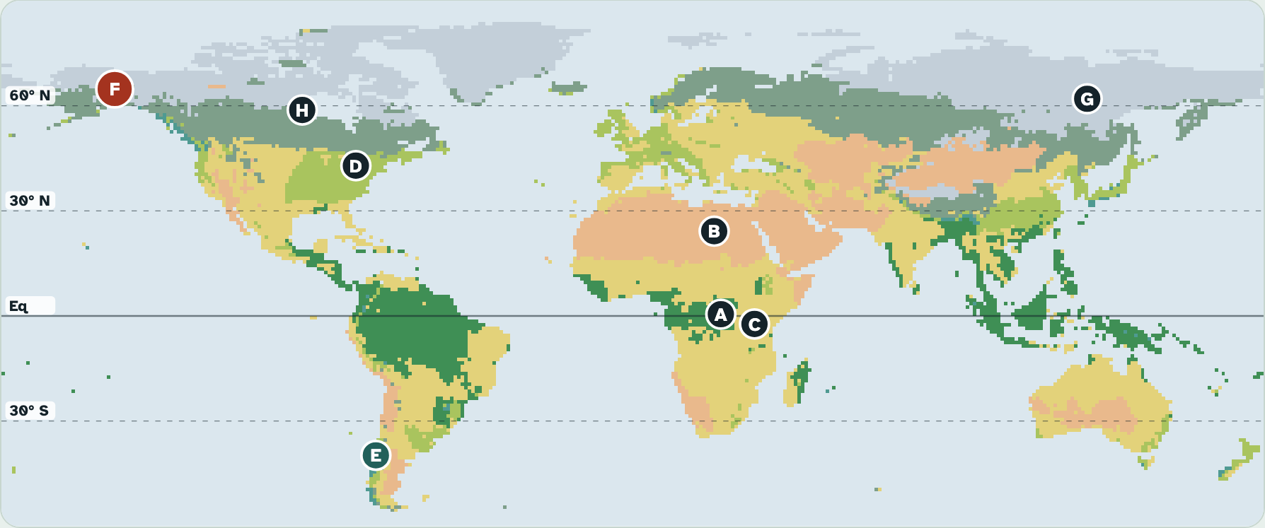
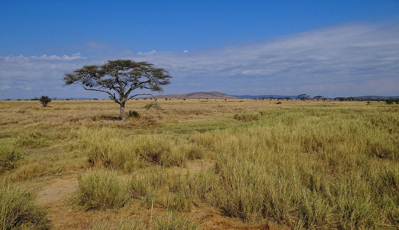
Screenshot: mrsajdak.com/climatemap, Tab 1
TAB 1 · QUESTIONS 1 TO 6
Part 1. Draw the map
Two numbers: temperature, and rain and snow.
Can they draw the world?
Photo: Bjorn Christian Torrissen, CC BY-SA 3.0
PART 1 · QUESTIONS 1 TO 3
Eight real places
1
Tap a letter on the map.
2
Copy it into Question 1.
3
Do all eight, A to H.
4
Pick Satellite. Find the miss.
5
Pick Sea. Count the reef dots.
PART 1 · LEARN IT · 1 OF 3
Two numbers make a biome
Your eight places sit on the map by temperature and rain and snow.
Those two numbers alone draw the big stripes.
Far-apart places with the same two numbers grow the same kind of biome.
Photo: NASA Blue Marble Next Generation, public domain
PART 1 · LEARN IT · 2 OF 3
Why the grid missed Place G
The grid calls Place G tundra. The photo shows dark forest.
Winters there are terribly cold, but summers are warm enough for trees.
A yearly average hides the seasons. That is a limit of this model.
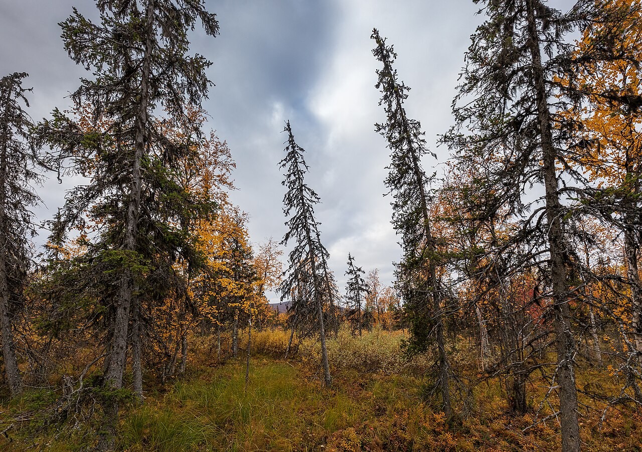
Photo: Ximonic (Simo Rasanen), CC BY-SA 4.0
PART 1 · LEARN IT · 3 OF 3
The sea has a climate too
Reef-building corals need warm water all year.
Almost every reef sits where the coldest month stays at 64 °F or warmer.
So reefs make a belt on both sides of the Equator.
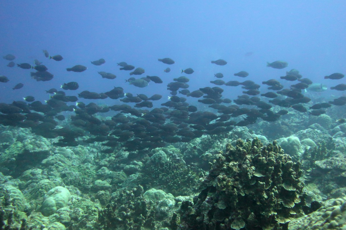
Photo: NOAA Fisheries, Kaylyn McCoy, public domain
PART 1 · LEARN IT · PLANTS
Plants are built for their climate
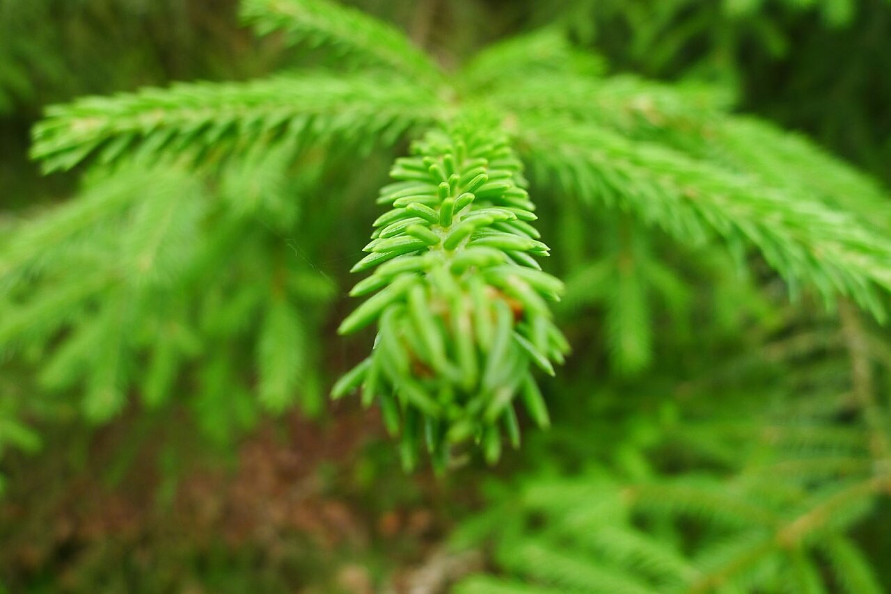
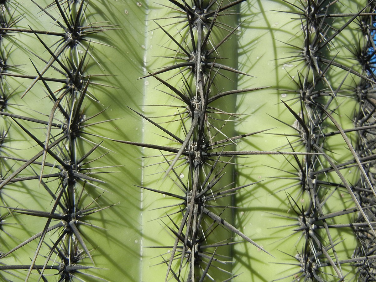
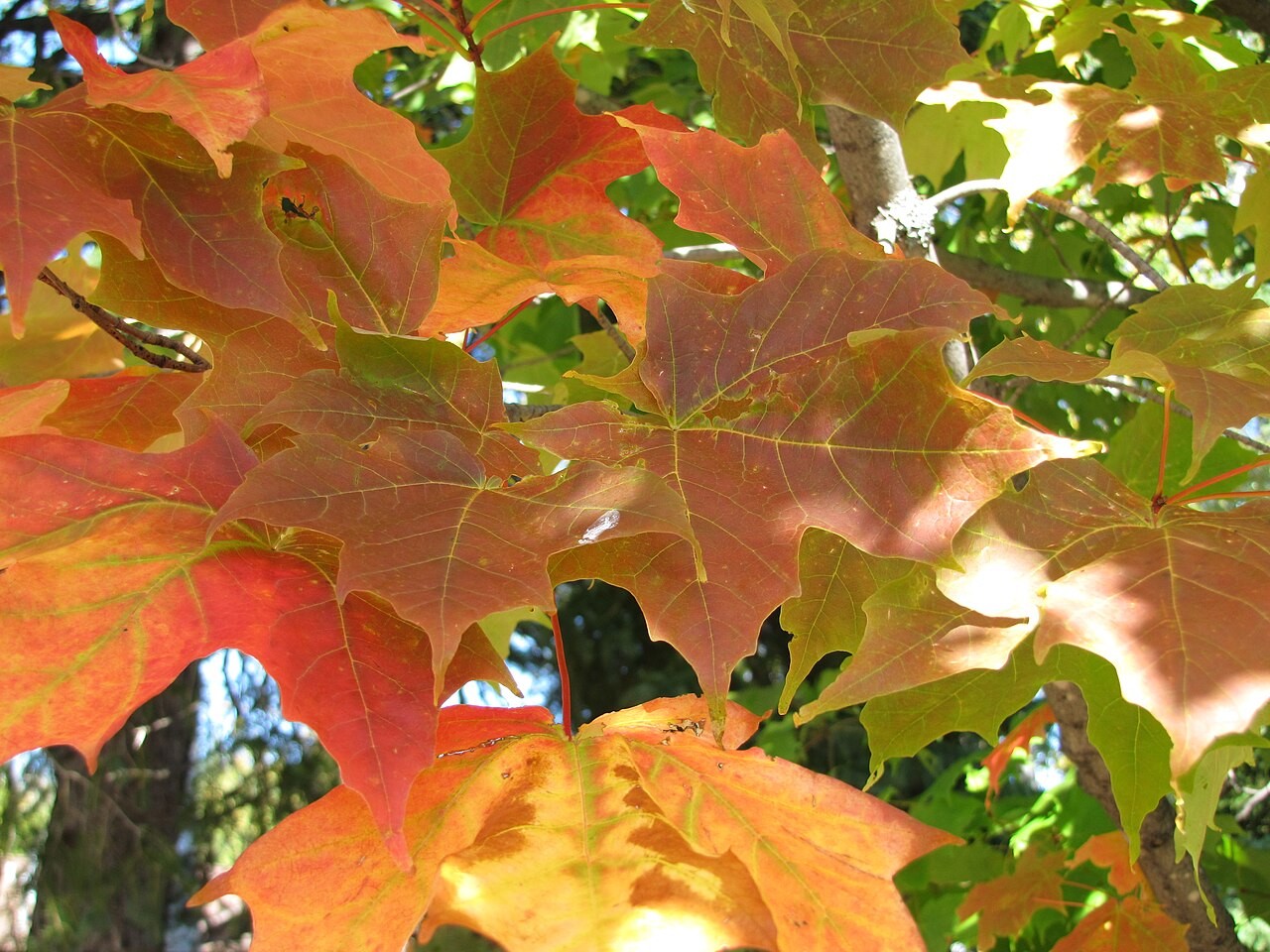
Photos: Timo Newton-Syms, CC BY-SA 2.0 · Alice Wondrak-Biel, public domain · Superior National Forest, CC BY 2.0
PART 1 · QUESTIONS 4 TO 6
Built for a climate
QUESTION 4
3 rows
Which biome?
Match each plant part.
Tick one box in each row.
QUESTION 5
The miss
Why was the grid wrong?
Use the word average or seasons.
QUESTION 6
Model
What is left out?
Name one thing.
How could it change the map?
TAB 2 · QUESTIONS 7 TO 12
Part 2. Why there?
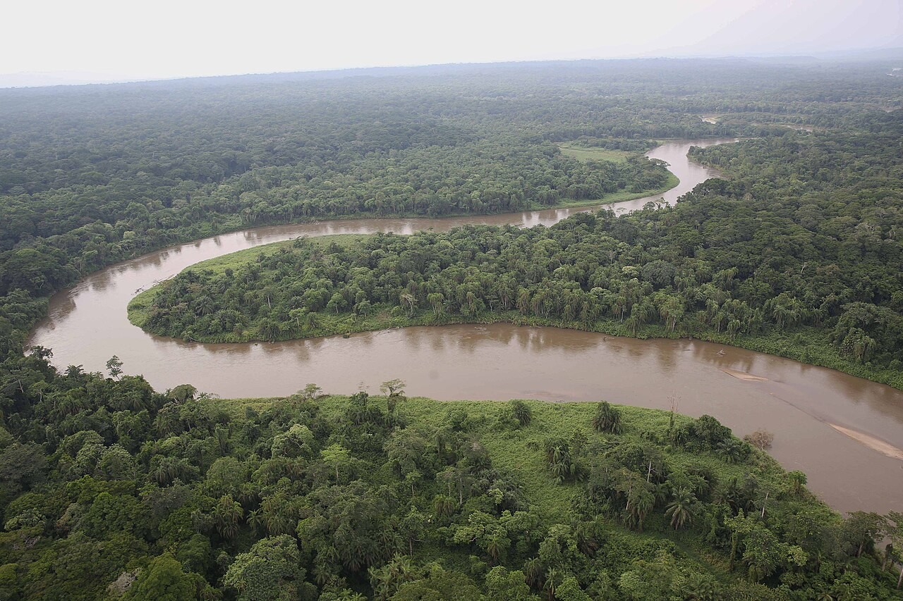
This forest gets rain almost every day.
Why here, and not 1,500 miles north?
Photo: MONUSCO Photos, CC BY-SA 2.0
PART 2 · QUESTIONS 7 TO 9
Four cuts across the planet
1
Pick a cut.
2
Tap its three stops.
3
Copy them into Question 7.
4
Do all four cuts.
5
Do the math in Question 8.
PART 2 · QUESTION 8
Percent less rain
1
Find the first number.
2
Subtract the last number.
3
Divide by the first. Times 100.
Example
A town gets 40 inches.
The next town gets 30.
(40 − 30) ÷ 40 × 100
= 25% less
These are not your numbers. Use your own.
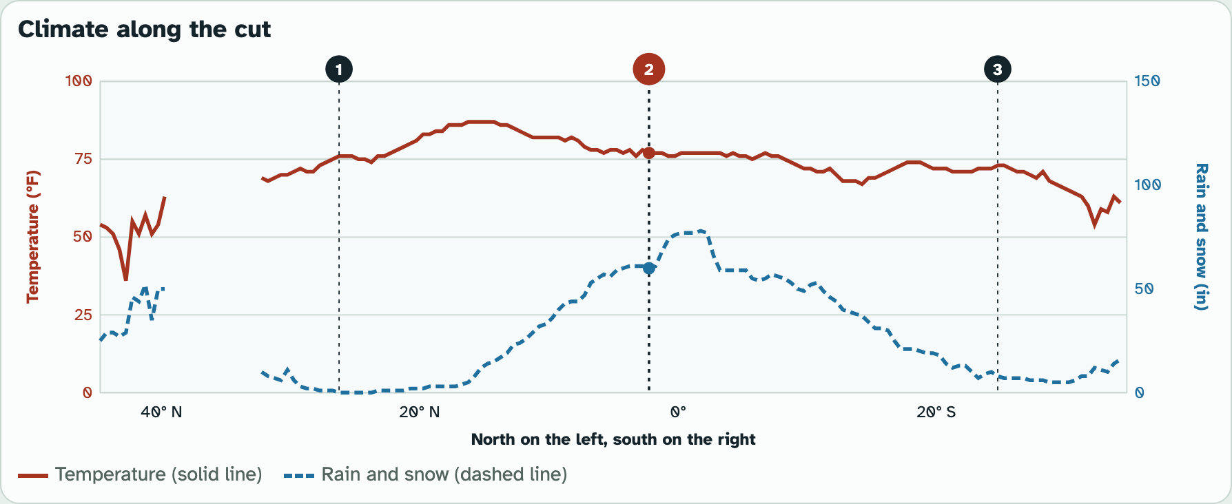
Screenshot: mrsajdak.com/climatemap, Tab 2
PART 2 · LEARN IT · 1 OF 3
Sun and rising air
The sun heats the Equator most. Warm, wet air rises, cools and rains. That is the wet band.
That air, now dry, sinks near 25° to 30° north and south. Sinking air warms and drinks up water.
So the world's big deserts sit in two belts.
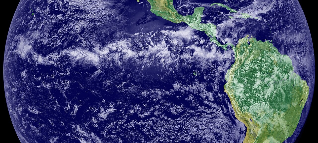
Photo: NASA Earth Observatory, public domain
PART 2 · LEARN IT · 2 OF 3
Mountains: the rain shadow
Wet ocean air is pushed up a mountain. It cools and drops its rain on the near side.
Dry air comes down the far side.
On your cut, the far side got about one eighth of the coast's rain.
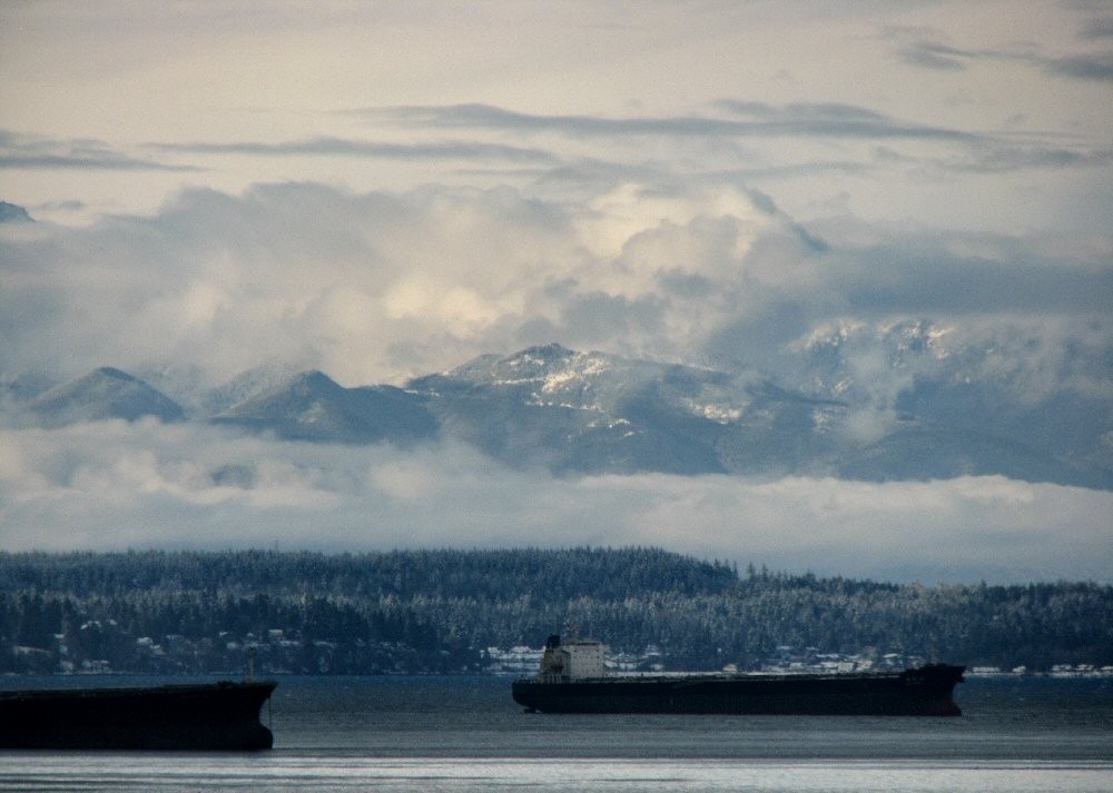
Photo: katharine moriarty, CC BY 2.0
PART 2 · LEARN IT · 3 OF 3
Ocean currents and height
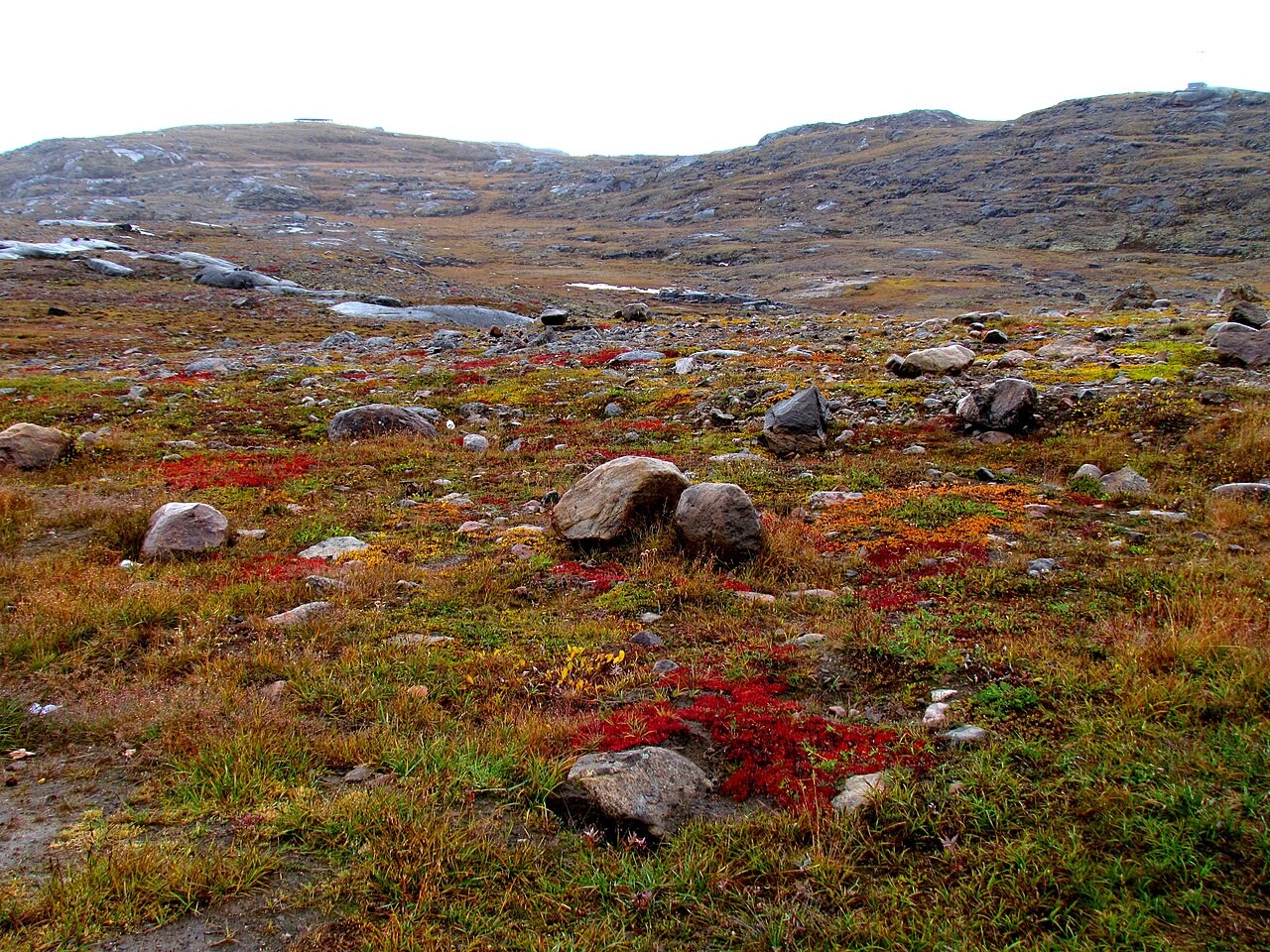
Ocean currents carry heat. Warm Atlantic water keeps Ireland far warmer than Labrador, at the same latitude.
Height: air cools as you climb. High in the Andes it is cool, right on the Equator.
Latitude is a strong factor. It is not the only one.
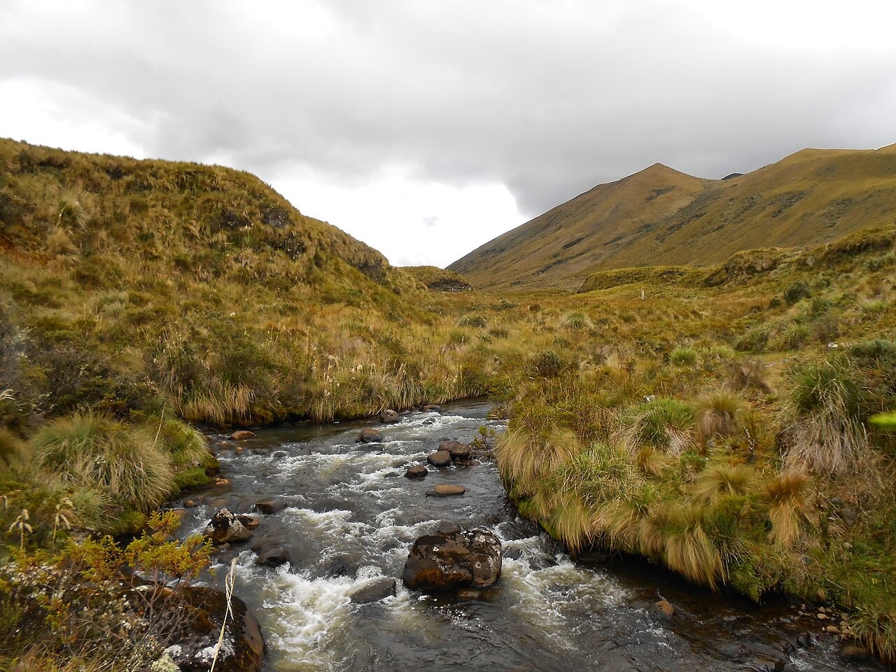
Photo: Cristian Paliz, CC BY-SA 3.0
PART 2 · QUESTIONS 10 TO 12
Name the factor
QUESTION 10
4 cuts
Which factor?
Sun and moving air, mountains, ocean current, height.
QUESTION 11
2 deserts
Why both dry?
Use rises and sinks.
QUESTION 12
Same line
Why is Ireland warmer?
Same latitude. So not the sun.
TAB 3 · QUESTIONS 13 TO 18
Part 3. Change the climate
Warm the whole world.
Where does the tundra go?
Photo: ADialla, CC BY 2.0
PART 3 · QUESTIONS 13 TO 15
Six runs
1
Set Warmer and Rain and snow.
2
Copy the row into Question 13.
3
Do all the rows on your sheet.
4
Tick the jobs in Question 14.
5
Do the math in Question 15.
PART 3 · LEARN IT · 1 OF 3
When climate moves, life moves
Warm every place and the tundra edge slides toward the pole.
Boreal forest moves in. Temperate forest moves in behind it.
Tundra has nowhere left to go at the top of the world.
Photo: ADialla, CC BY 2.0
PART 3 · LEARN IT · 2 OF 3
Life changes climate too
This goes both ways. Forests pull water from the soil and send it back to the air, so they help make rain.
Corals built the reefs that change how waves hit a coast.
Earth's air, water and life change one another over time.
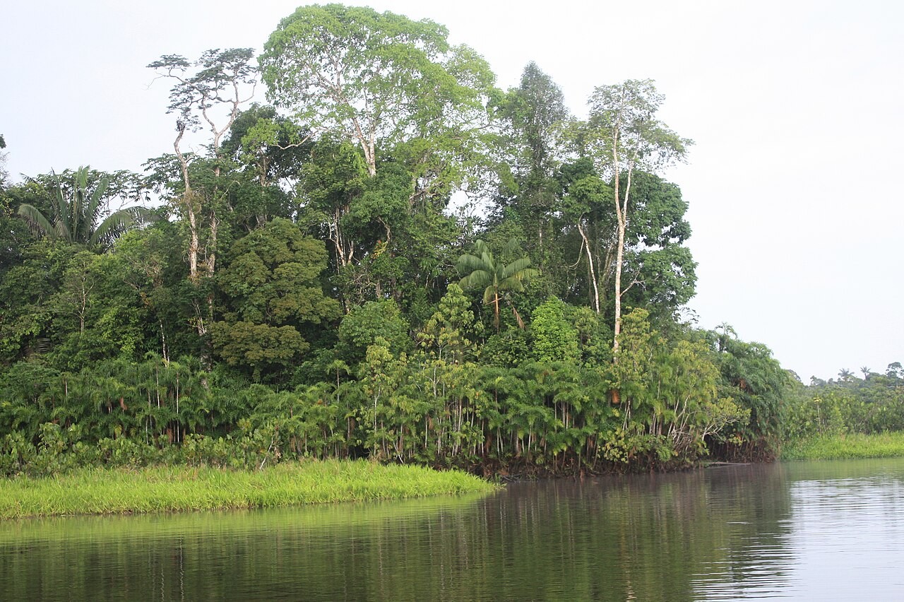
Photo: ALAI, CC BY-SA 4.0
PART 3 · LEARN IT · 3 OF 3
What this model leaves out
It moves plants at once. Real forests take many years.
It adds the same change everywhere. Real warming is greater near the poles.
It knows nothing of soil, fire, people or seasons.
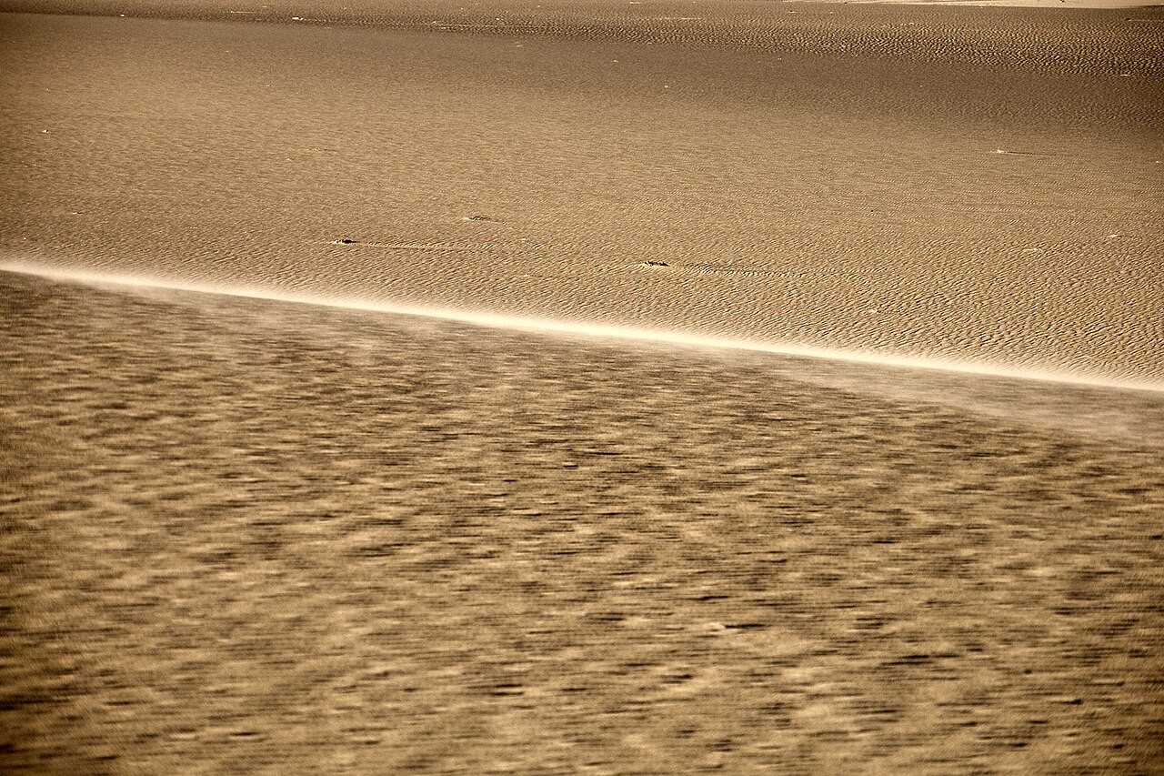
Photo: Vyacheslav Argenberg, CC BY 4.0
PART 3 · QUESTIONS 16 AND 17
Where can it go?
QUESTION 16
Tundra
Why the least room?
Look at the top of the map.
QUESTION 17
Model
One click?
Name one way the real world is different.
WRAP IT UP · QUESTION 18
Argue it
"Latitude alone decides what grows in a place."
Claim: do you agree?
Evidence: two numbers from Parts 1 and 2.
Reasoning: name a climate factor.
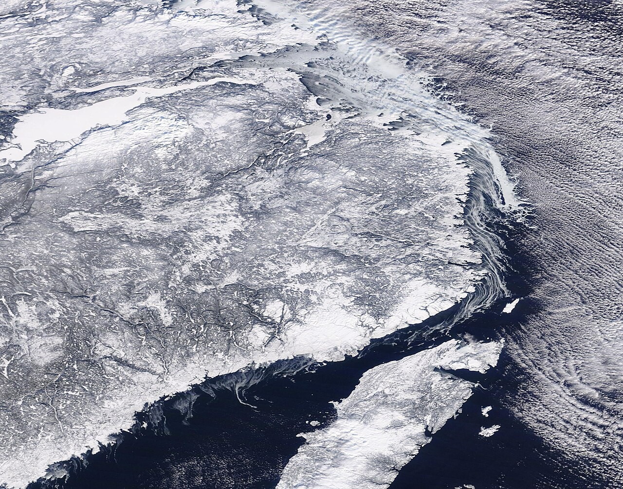
Image: MODIS Land Rapid Response Team, NASA GSFC, public domain
WRAP IT UP · BACK TO THE START
Revisiting the Phenomenon
What draws the stripes on the map of Earth?
EVIDENCE
The map
Which two numbers drew it?
EVIDENCE
The cuts
Which factors bend the bands?
EVIDENCE
The runs
What moved when climate moved?
Hand in your worksheet.
Check your name, date and period.