ENVIRONMENTAL SCIENCE · CHAPTER 6
Follow the Water
Follow along with your worksheet, one question at a time.
mrsajdak.com/watershed
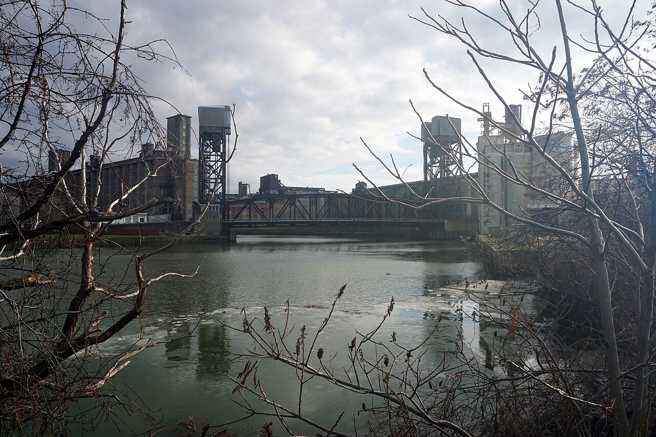
Photo: Michael Barera, CC BY-SA 4.0
START HERE · PICK AN OPENER
Choose how to open the lesson
Click a card to jump to it. Every option ends at the same Observe, Wonder, Predict slide and the same driving question.
OPTION A · VIDEO
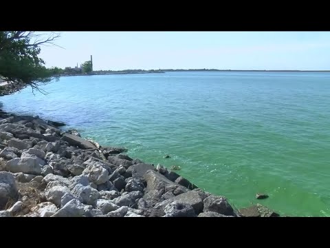
Lake Erie Goes Green
Clip 1 is a Toledo TV news report on a bloom of algae growing in Lake Erie. Clip 2 is from Buffalo Niagara Waterkeeper, on how the Buffalo River was cleaned up.
Watch for
What color is the water? How far does it spread?
Where did the stuff that feeds it come from?
Clip 2: what had to change for the Buffalo River to come back?
Videos on YouTube: WTOL11; Buffalo Niagara Waterkeeper; Prairie Public.
OPTION B · TRY IT · 4 MINUTES
Sponge or Plate?
1
Set a plate on a tray and lift one edge on a pencil.
2
Pour a small cup of water on the high side. Count how many seconds water keeps running off the low edge.
3
Lay a damp kitchen sponge across the middle of the plate.
4
Pour the same cup the same way. Count again.
You need
A plate and a tray
A pencil to lift one edge
A damp kitchen sponge
A small cup of water
Watch for
Which way does the water leave the plate faster?
Where is the water after the sponge run?
What on real land could work like the sponge?
OPTION C · PHOTOS
Phenomenon: Same Lake, Two Colors
Photos: NASA Goddard, public domain · NASA Earth Observatory, Jesse Allen and Robert Simmon, public domain
START HERE
Observe, wonder, predict
This is the same lake, seen from space at two different times. Buffalo sits at the far right end of it.
OBSERVEWhat colors do you see in the water? Where are they strongest?
WONDERWhat do you wonder about where the color came from?
PREDICTWhat did rain carry into this lake from the land?
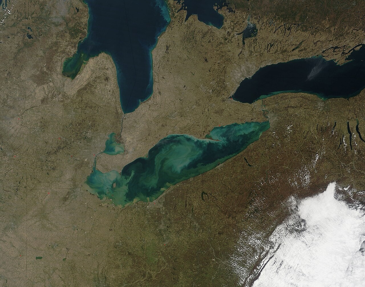
Photo A.
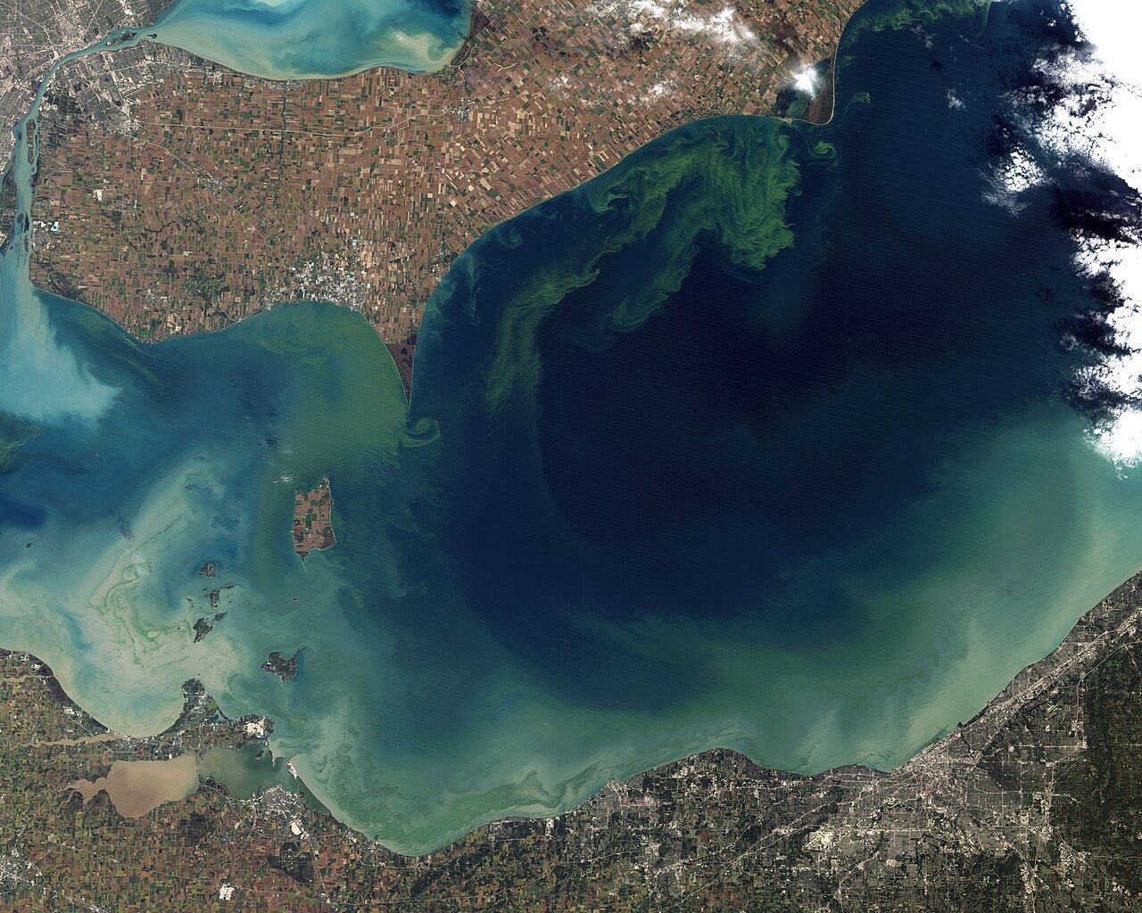
Photo B.
Photos: NASA Goddard, public domain · NASA Earth Observatory, Jesse Allen and Robert Simmon, public domain
DRIVING QUESTION
What happens to rain on its way to Lake Erie, and who does the work?
START HERE
What Happened Here?
Finished observing? Click here to find out.
Photo A shows mud that storms washed off the land into Lake Erie. Photo B shows a huge bloom of algae in the west end of the lake in 2011, the worst on NOAA's record. Both came from the land, carried by water.
Watched the video or tried it? Click here.
The news clip showed that same bloom growing near Toledo, Ohio. The sponge held water and let it go in drips, while the bare plate emptied in seconds. Keep that picture in mind for Part 2.
Today, you will follow a real creek 44 miles from the hills to Lake Erie. You will compare three creeks in one real storm. Then you will read real Lake Erie data, year by year.
BEFORE YOU START
What you will learn
I can
use real data to find a river’s three zones.
I can
explain what an inland wetland does to a flood, and name the services it gives.
I can
use Lake Erie data to explain eutrophication.
BEFORE YOU START
Get set up
1
Do the Do Now at the top of your sheet.
2
Open mrsajdak.com/watershed.
3
Keep your pencil and your sheet beside you.
4
Each stop, creek and year goes in a log. Copy from the log.
Screenshot: mrsajdak.com/watershed, Tab 1
TAB 1 · QUESTIONS 1 TO 6
Part 1. Follow the creek
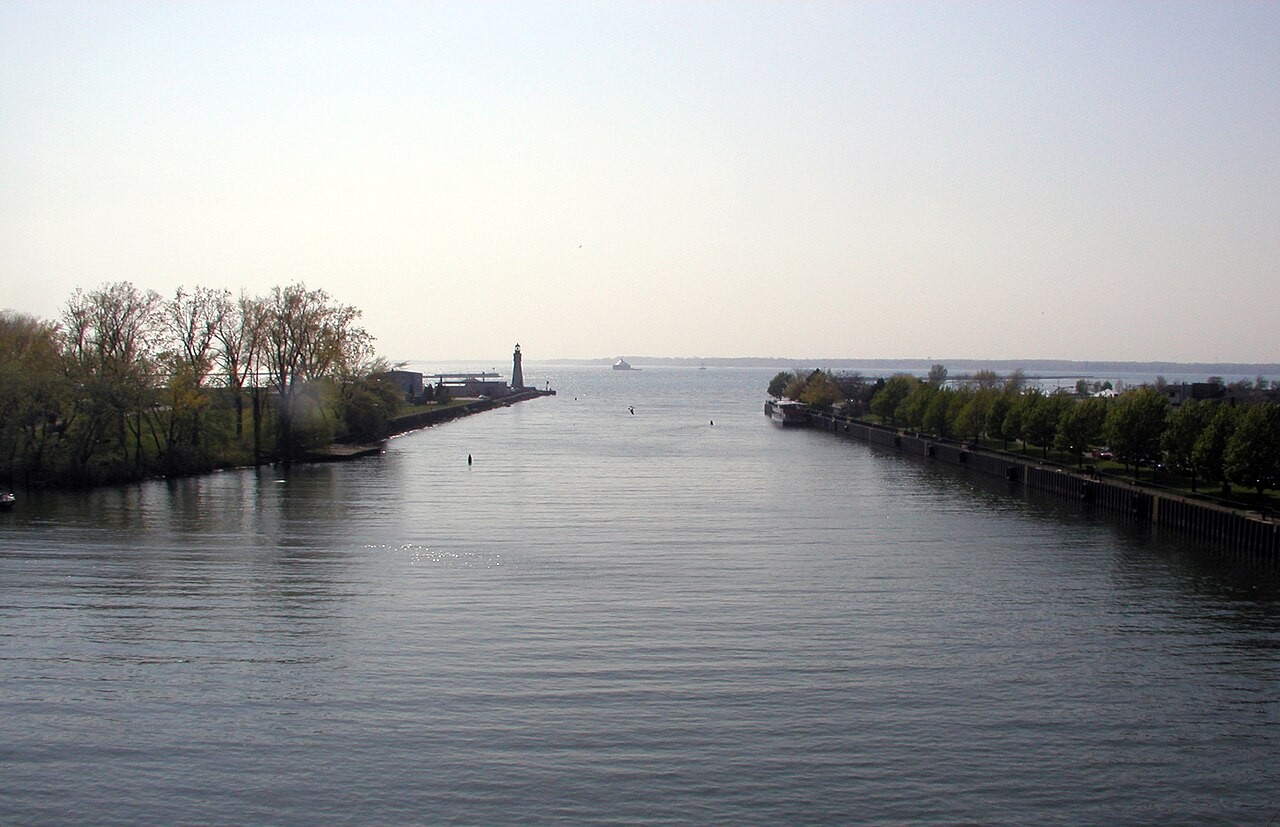
This is where the Buffalo River meets Lake Erie.
Where did that water start, and how did it get here?
Photo: Darmon, CC BY-SA 2.5
PART 1 · QUESTIONS 1 TO 3
Six stops on one creek
1
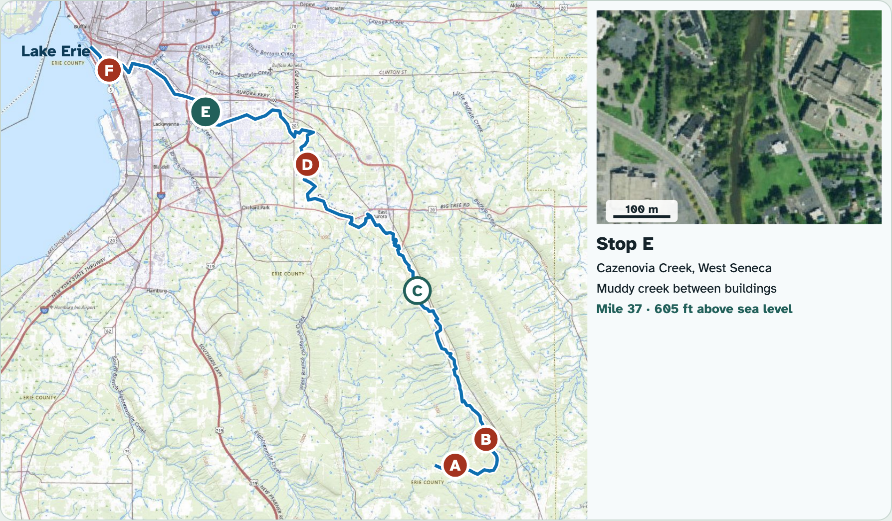
Tap a letter on the map.
2
Look at the photo. Each one is 500 m wide.
3
Copy miles and height into Question 1.
4
Do all six, A to F.
PART 1 · QUESTION 2
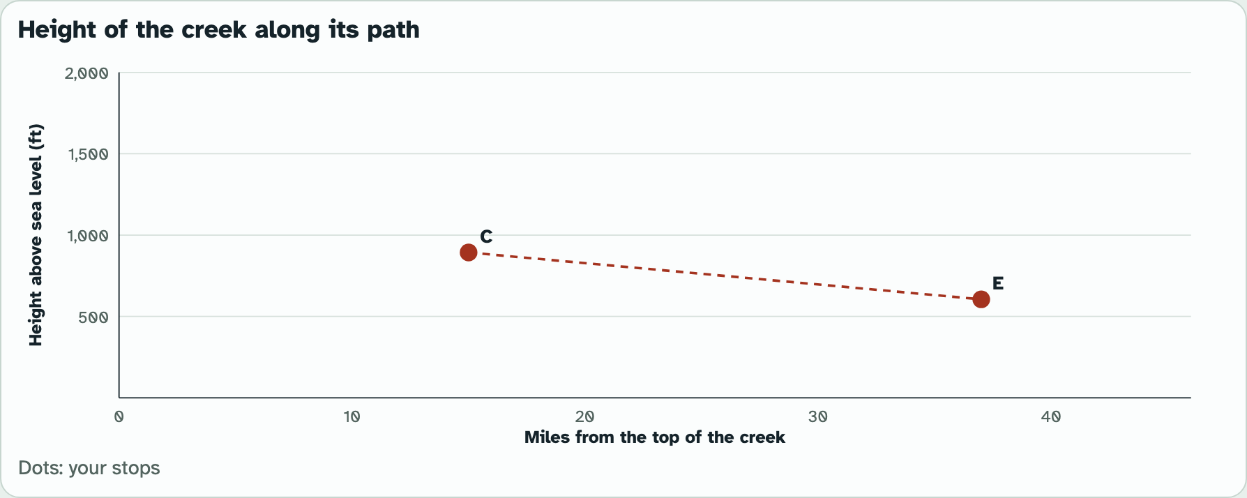
Drop per mile
1
Find the feet dropped between two stops.
2
Find the miles between them.
3
Divide feet by miles.
Example
A road drops 300 ft in 5 miles.
300 ÷ 5
= 60 ft per mile
These are not your numbers. Use your own.
Screenshot: mrsajdak.com/watershed, Tab 1
PART 1 · LEARN IT · 1 OF 6
Where the rain goes
Rain that does not soak in runs downhill. That water is runoff.
Runoff feeds surface water: streams, rivers, lakes and wetlands.
All the land that drains to one place is a watershed. Your creek is part of the Buffalo River watershed.
Photo: NASA Goddard, public domain
PART 1 · LEARN IT · 2 OF 6
Three zones
A river typically flows through three zones, from high ground to low.
You measured it: the creek drops fast at the top, and it is almost flat at the bottom.
The drop per mile tells you how fast the water can run.
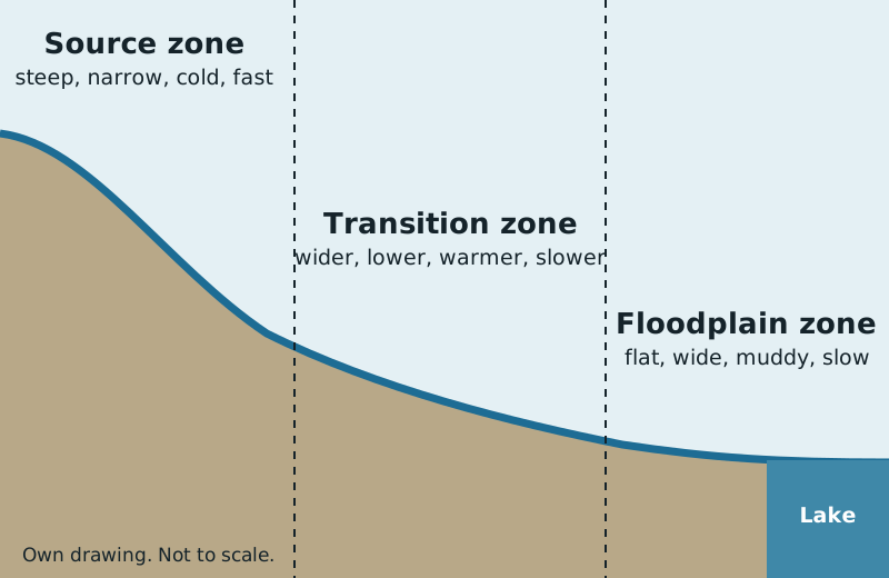
Photo: Own drawing
PART 1 · LEARN IT · 3 OF 6
Source zone
The source zone is the top: small headwater streams in hills and mountains.
The water is narrow, cold and fast. It tumbles over rocks, so it holds a lot of oxygen.
Stops A and B are here. Trees hide the water from the air.
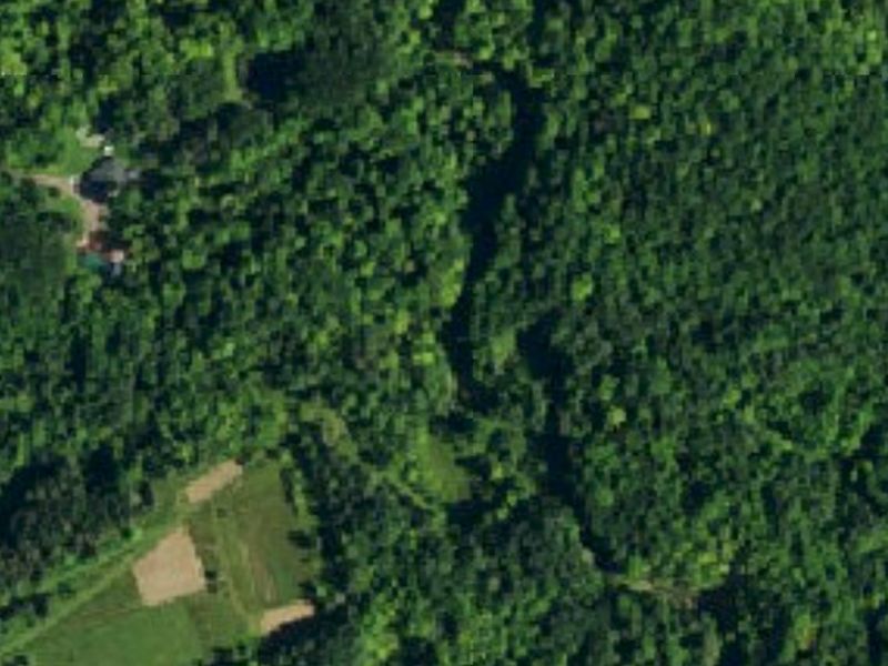
Photo: USGS The National Map, public domain
PART 1 · LEARN IT · 4 OF 6
Transition zone
In the transition zone, small streams join into a wider stream on lower land.
The water is warmer and slower. It holds less oxygen than the source zone.
Stops C and D are here. By stop D, you can see the creek from the air.
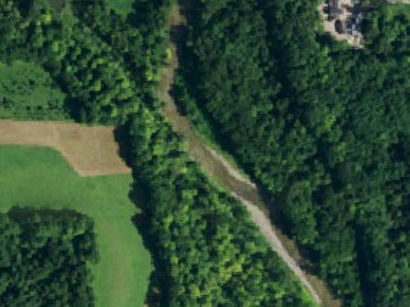
Photo: USGS The National Map, public domain
PART 1 · LEARN IT · 5 OF 6
Floodplain zone
In the floodplain zone, the land is nearly flat. The water slows down and drops its sand and mud.
The river empties into a larger river, a lake or the ocean.
Stops E and F are here. The Buffalo River is at lake level by stop F.
Photo: Darmon, CC BY-SA 2.5
PART 1 · LEARN IT · 6 OF 6
Delta
Where a big river meets a lake or the sea, the dropped sand and mud can build new land. That land is a delta.
The water splits into many channels as it crosses.
This delta is the Lena River in Russia, seen from space.
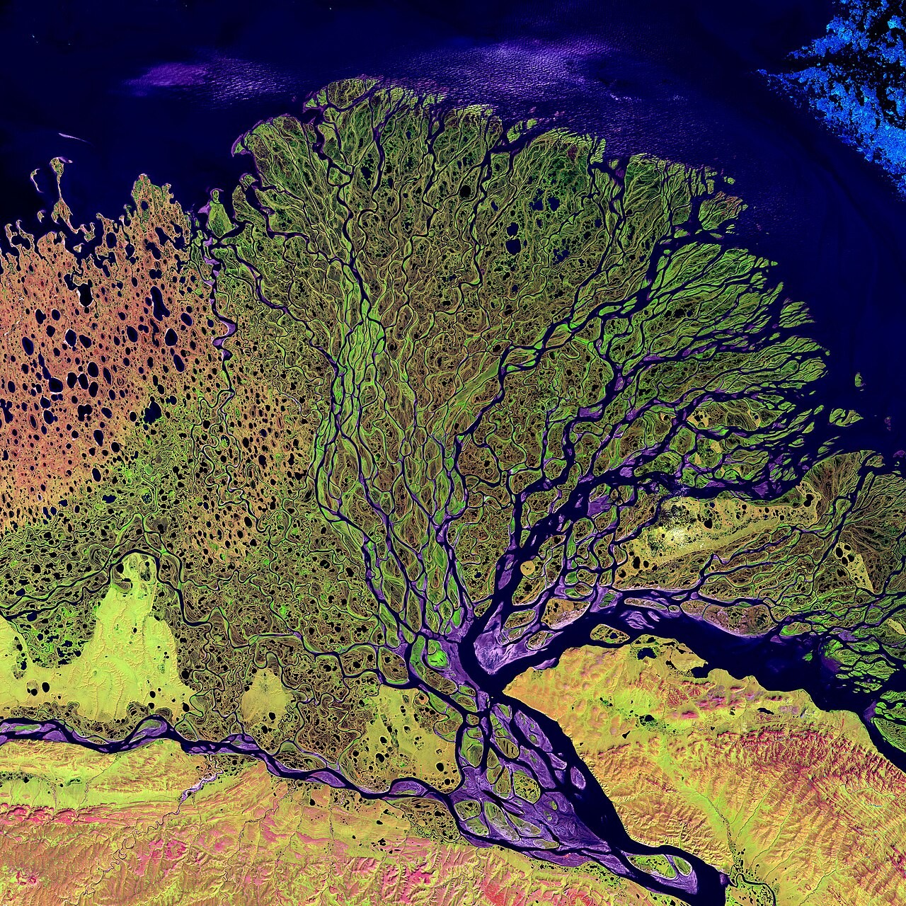
Photo: NASA Landsat, public domain
PART 1 · QUESTIONS 4 TO 6
Name the zones
QUESTION 4
3 stops
Which zone?
D, F and B.
Tick one zone in each row.
QUESTION 5
2 words
Name it
All the land that drains to one place.
Rain that flows over the land.
QUESTION 6
Flat, slow
Why does it drop mud?
Use both words.
Say why near the lake, not at stop A.
TAB 2 · QUESTIONS 7 TO 12
Part 2. One storm, three creeks
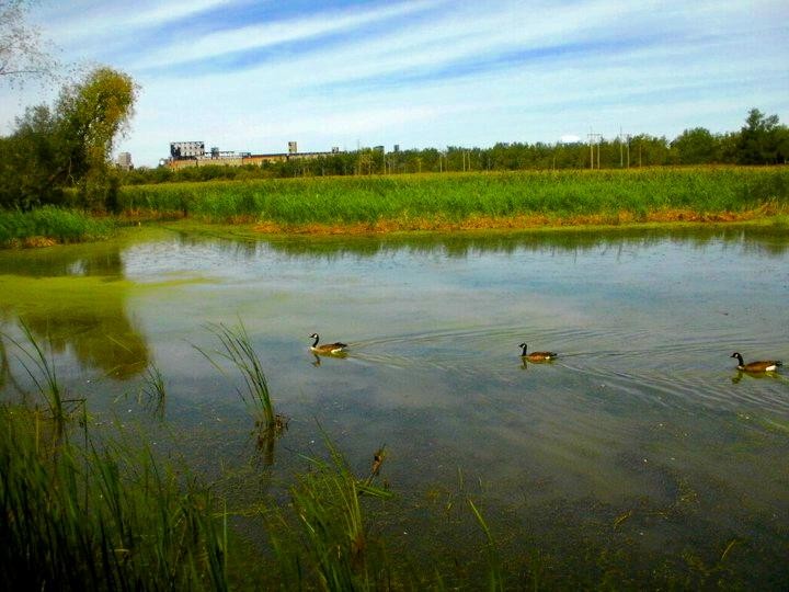
This marsh is inside the city of Buffalo.
A wet field or a swamp can look like wasted land. Is it?
Photo: Andre Carrotflower, CC BY-SA 3.0
PART 2 · QUESTIONS 7 TO 9
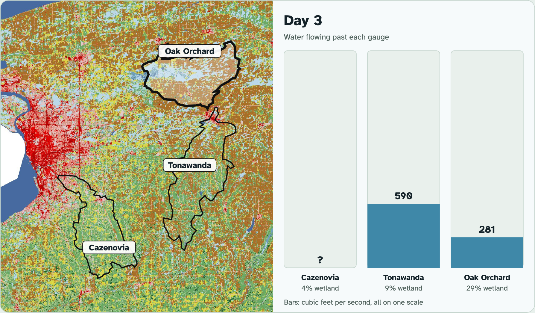
Compare the creeks
1
Pick each creek.
2
Copy its numbers into Question 7.
3
Press Play the storm.
4
Tick the jobs in Question 8.
5
Do the math in Question 9.
PART 2 · QUESTION 9
Flow per square mile
1
Find the highest flow.
2
Find the land drained.
3
Divide flow by land.
Example
A creek drains 100 sq mi.
Its highest flow is 900 cfs.
900 ÷ 100
= 9 cfs per sq mi
These are not your numbers. Use your own.
Screenshot: mrsajdak.com/watershed, Tab 2
PART 2 · LEARN IT · 1 OF 4
Inland wetlands
An inland wetland is land covered with fresh water all or part of the time.
Marshes, swamps, small ponds and prairie potholes all count. Some are wet only in spring.
Your creek with the most wetland was Oak Orchard Creek. About 29% of its land is wetland.
Photo: Andre Carrotflower, CC BY-SA 3.0
PART 2 · LEARN IT · 2 OF 4
A wetland is a sponge
Cazenovia Creek peaked 1 day after the rain. Oak Orchard Creek peaked 7 days after.
A wetland's mud and plants hold storm water, then let it out slowly.
By Day 17, the two creeks had carried a similar amount of water per square mile. The wetland did not make the water vanish. It slowed it down.
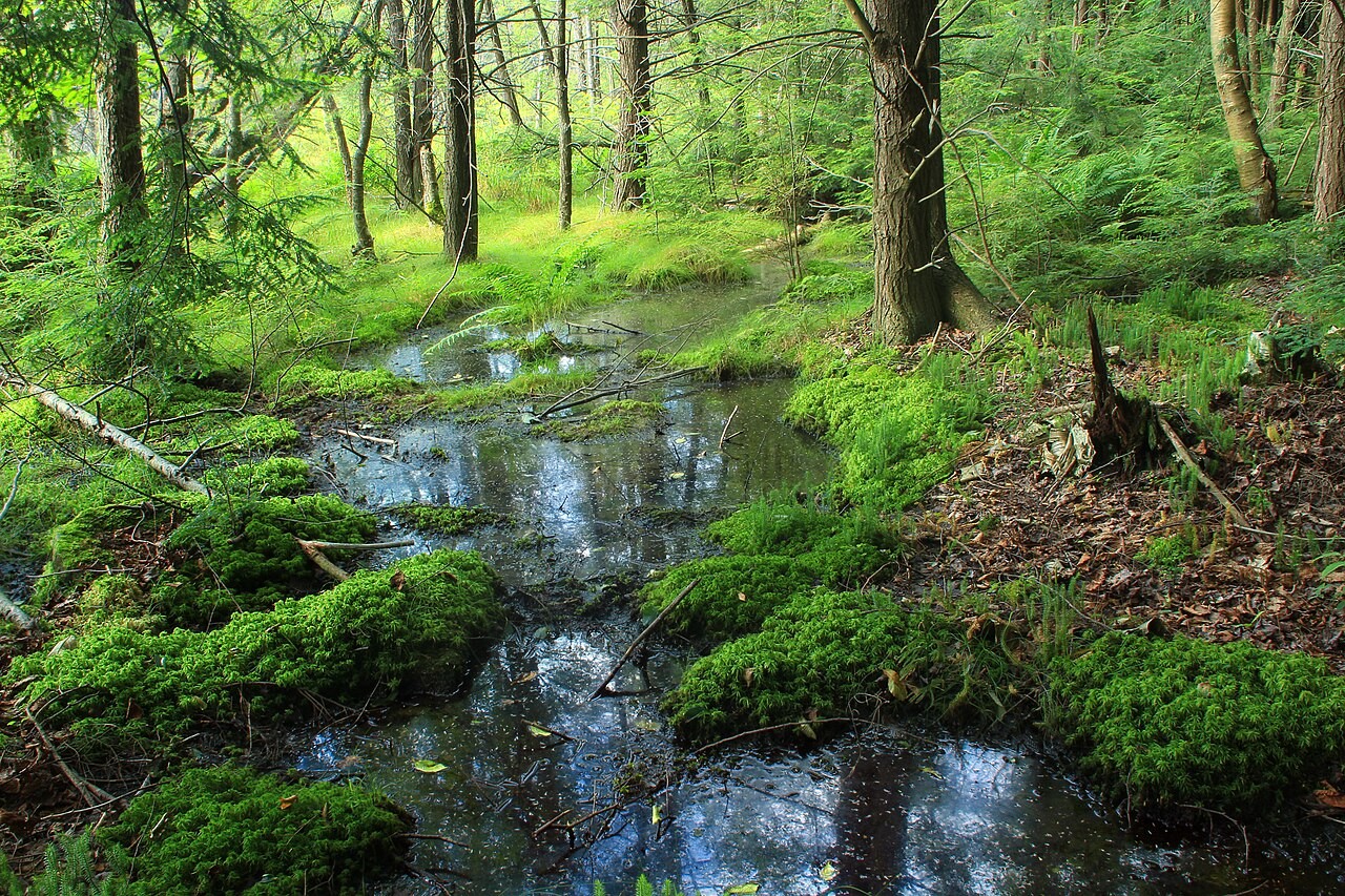
Photo: Nicholas A. Tonelli, CC BY 2.0
PART 2 · LEARN IT · 3 OF 4
What wetlands do for people, 1
Filter and break down wastes and pollution.
Limit flooding and erosion by soaking up storm water.
Sustain stream flow in dry times by letting water out slowly.
Recharge groundwater, the water stored underground.
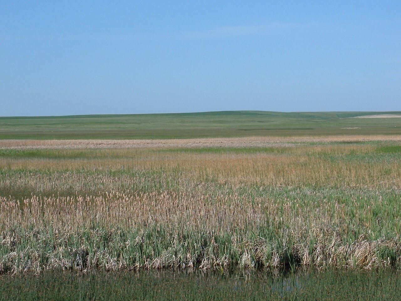
Photo: USFWS Mountain-Prairie, CC BY 2.0
PART 2 · LEARN IT · 4 OF 4
What wetlands do for people, 2
Maintain biodiversity: homes for many species.
Supply food and products: fish, shellfish, cranberries, wild rice and timber.
Give recreation: fishing, boating and bird watching.
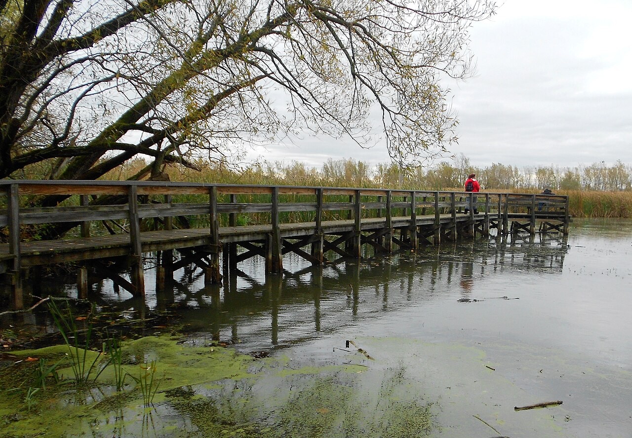
Photo: U.S. Fish and Wildlife Service, public domain
PART 2 · QUESTIONS 10 TO 12
A slow sponge
QUESTION 10
4 blanks
What a wetland does
Hold, then let out.
What happens to the peak?
QUESTION 11
Services
Tick every one
Two of the six are not services.
Which ones?
QUESTION 12
Model
What else differed?
This was not a controlled test.
Name one other difference.
TAB 3 · QUESTIONS 13 TO 17
Part 3. Lake Erie’s green summers
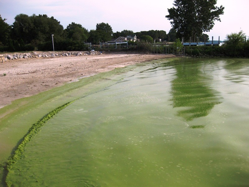
Phosphorus is a nutrient. It washes off the land in spring.
What happens in the lake in summer?
Photo: NOAA, public domain
PART 3 · QUESTIONS 13 AND 14
Eleven summers
1
Tap all 11 years.
2
Copy six of them into Question 13.
3
Watch the dots on the graph.
4
Find the pattern, and the odd year.
PART 3 · LEARN IT · 1 OF 4
A deep lake has zones
The littoral zone is the shallow edge. Rooted plants, frogs and turtles live there.
The limnetic zone is the open, sunlit top water. Plankton make food there.
The profundal zone is deep and dark. The benthic zone is the bottom.
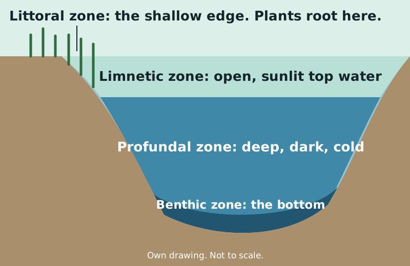
Photo: Own drawing
PART 3 · LEARN IT · 2 OF 4
Two kinds of lake
An oligotrophic lake is usually deep with steep sides. It has few nutrients and clear water.
A eutrophic lake is usually shallow and murky. It has a large supply of nutrients.
The west end of Lake Erie is the shallow end. That is where the blooms start.
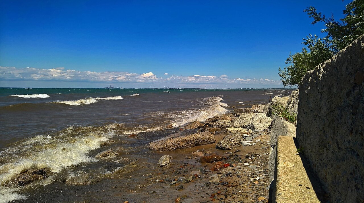
Photo: Andre Carrotflower, CC BY-SA 4.0
PART 3 · LEARN IT · 3 OF 4
Eutrophication
Nutrients like phosphorus are plant food. Fertilizer and sewage wash into the water in runoff.
Algae grow fast and cover the water. When they die, bacteria eat them and use up the oxygen.
That is eutrophication. More nutrients do not mean a healthier lake. Fish and other species can die.
Photo: NOAA, public domain
PART 3 · LEARN IT · 4 OF 4
Four ways people harm fresh water
Dams and canals restrict river flow.
Levees and dikes cut rivers off from their floodplains.
Cities and farms add pollution and nutrients.
Wetlands are drained or filled for crops and buildings.
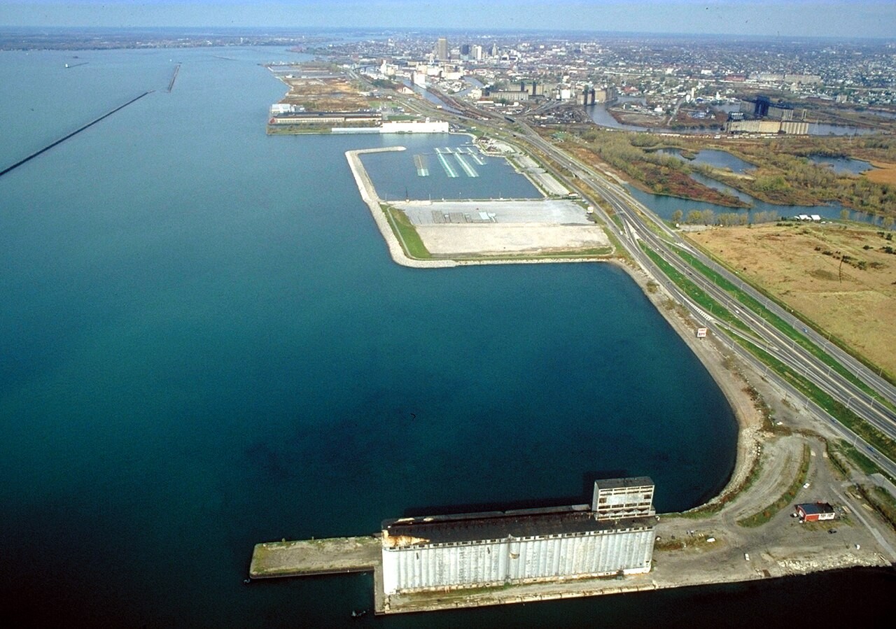
Photo: Ken Winters, U.S. Army Corps of Engineers, public domain
PART 3 · QUESTIONS 15 TO 17
Too much of a good thing
QUESTION 15
1 to 4
Put it in order
Four steps of eutrophication.
Start on the land.
QUESTION 16
2 zones
Which zone?
Sunlit top water.
The bottom mud.
QUESTION 17
Answer
A friend’s claim
"More nutrients make a lake healthier."
Use the data.
WRAP IT UP · QUESTION 18
A mall on a wetland?
A town plans to drain a wetland upstream and build a shopping mall.
Claim: do you agree?
Evidence: one number from Part 2.
Reasoning: one service the town would lose.
Photo: U.S. Fish and Wildlife Service, public domain
WRAP IT UP · BACK TO THE START
Revisiting the Phenomenon
What happens to rain on its way to Lake Erie, and who does the work?
EVIDENCE
The creek
Where did the water run fast? Where did it slow?
EVIDENCE
The wetland
What changed when the water met a wetland?
EVIDENCE
The lake
What did the land send to the lake?
Hand in your worksheet.
Check your name, date and period.